Hiker or Tourist (Android Version only)
MyOMaps gives you the capability to use your Android device to display and record your track on any map you choose, even if you don't have Internet access.
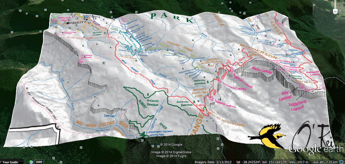
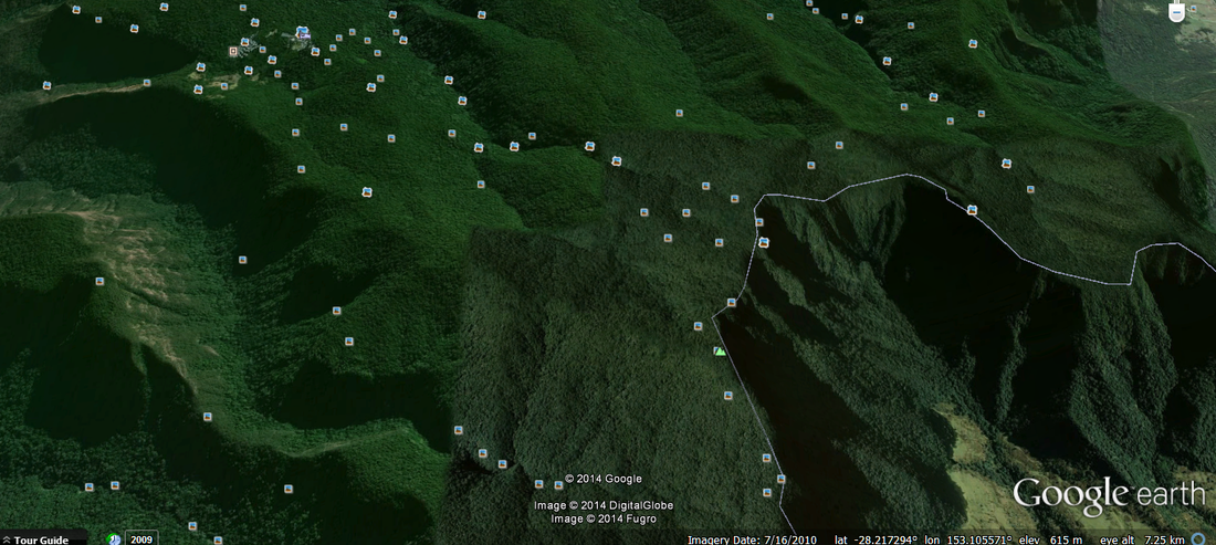
If you go to the Parks Office they will often have a really useful map which has the specific detail you need. For example it may show the walking tracks and key features, which may not be available on the standard Google Maps. Wouldn’t it be much better to be hiking with this map as the base that your smart phone uses to show your local and record your track? And when your phone goes out of range of the Cell Network – your map still works!!
You can have a map like this:
Rather than a Google Map with very little detail:
And if you are going on Holidays
· If you have a specific favourite map – and want to save data
· Load that map onto your phone before you go
· Or take a photo of it when you are about to walk out the door of your hotel..
How it Works
What you need is an image file of the map you want to use. So to get that:
o Find the map you like online and save the image to your GoogleDrive or email it to your smart phone
o Scan a printed map on your scanner and likewise save it on GoogleDrive or email it
o Or on your smartphone take a photo of the map you want.
Then the next step is to place the image at the right position, rotation and scale so you GPS shows you on that map rather than Google Maps.
This is what MyOMaps does this just a couple of simple steps.
First of all – If you already have the image placed correctly geospatially – that is it’s ‘geo-referenced’ then you can simply used it straight away in MyOMaps. MyOMaps reads kmz files – so just import the KMZ file you have straight from your smartphone or your GoogleDrive – and away you go.
You can create a KMZ file from your jpg using MyOMaps. MyOMaps lets you position, scale and rotate the image file and then save it as a KMZ.
In summary, take any image file off the web, or a printed map that you can take a scan or photo of and quickly use MyOMaps to place the image at the right geographic location and use it as your map.


